La Plagne 3D map video
Understand La Plagne at a glance
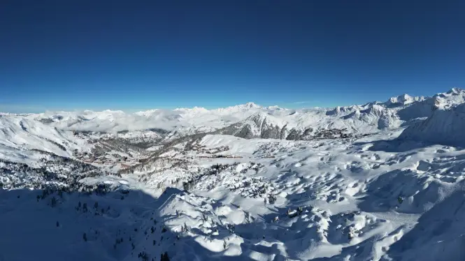
3D map video of La Plagne: With eleven different villages spread across a huge skiable domain, it’s not always easy to get your head around the size and scope of riding in La Plagne. From the high Alpine terrain of the Bellecôte glacier down to the quieter valley villages of Montalbert, Montchavin and Champagny-en-Vanoise, La Plagne offers an incredible range of terrain and pistes.
The 3D map video on this page is one of the quickest ways to understand how the villages, lift hubs and sectors link together. It’s especially handy if you’re planning where to stay, figuring out riding days or trying to avoid choosing a village that looks great online but doesn’t suit how you want to ski. You can also explore Paradiski in 3D or zoom out further with the Tarentaise resorts in 3D video.
Affiliations: La Plagne 360 works with trusted, industry-leading suppliers to bring you the best services for your trip. If you click on these links, we may earn a small commission at no extra cost to you. In most cases, you’ll also benefit from a better deal. We only feature products and services we’ve used and genuinely recommend.
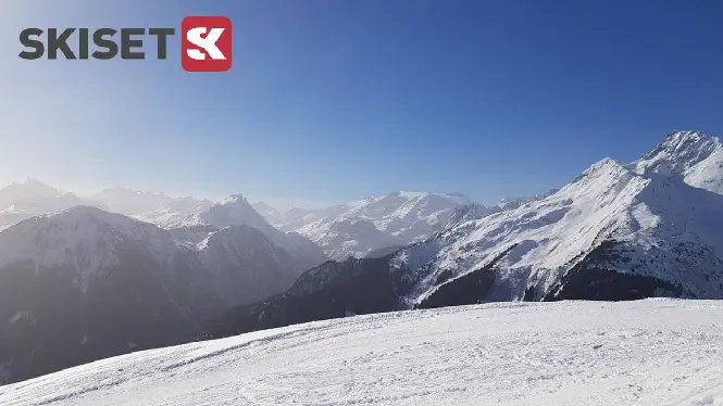
Sort your La Plagne hire before you travel
Quick tip: Once you’ve worked out which part of La Plagne suits your trip, it makes sense to lock in the practical stuff early too. Booking ski or snowboard hire in advance usually means better prices, better availability and less hanging around once you get to resort.
It’s one of the easiest wins for a smoother first day.
Prefer to go straight to Skiset? Book here
What the 3D map helps you plan
This video is a quick orientation tool, but it also unlocks the next step: choosing a base and building a plan that suits your group.
If you’re trying to work out where everything sits on the mountain, these guides pair perfectly with the 3D view:
- How big is La Plagne and Paradiski
- Best La Plagne ski in ski out villages
- La Plagne piste map
- See La Plagne in a Day
If you want a simple planning shortcut, most people start by locking in accommodation, sorting airport transfers or car hire and then adding ski hire and insurance once dates are fixed.
Heading to La Plagne? Make sure you’re covered
Quick tip: If you’re exploring a large resort and building a proper week around different villages and sectors, decent cover matters. In France, rescue and medical costs can be charged back to you, and cancellations are expensive if something goes wrong before the trip.
It’s worth sorting before you travel so everything else is easier.

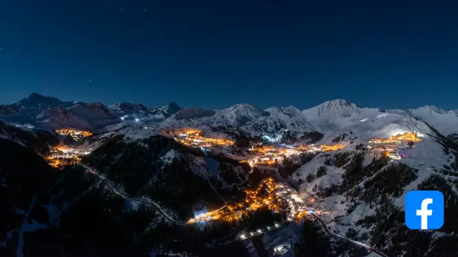
Want more practical La Plagne info?
If you want more useful info in your feed, follow our Facebook updates:
- Snow and visibility updates when conditions change
- Travel warnings on busy weekends
- New guide drops as we build out the site
Plan your trip
More La Plagne travel resources: These partners help with booking, transfers and kit hire. We may earn a commission if you use them – at no extra cost to you.
La Plagne ski hire
La Plagne Geneva flights
More La Plagne flights