Biolley piste Gavotte

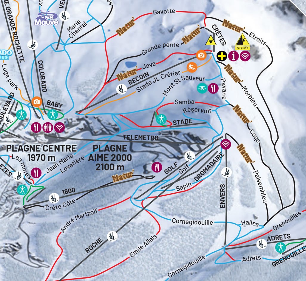
To get to the Gavotte piste you need to take Becoin chair out of Plagne Centre followed by the tricky Crêtes drag lift along a ridge towards the summit of Le Becoin. At the top, follow the narrow path until you reach an intersection with the Gavotte run peeling left and the black Étroits dropping away to the right.
La Plagne advanced piste Gavotte
Taking the official route of this run involves a long traverse around the top to the right. You might be tempted to just drop in a straight line into the bowl but it’s unlikely you’ll generate enough speed to get over the long flat which follows – so you are probably better to stick to the main route. After a fairly long stretch cutting across the hill, the piste drops to the left.
While the top of this run is reasonably graded red, the lower section really is no more challenging than a blue. Also, watch out for the flat section after the steep – otherwise, you’ll end up having to walk out.
Gavotte is another of La Plagne’s runs marked as ‘Natur’, meaning it remains unpisted through the season so, as the bumps build, it can get considerably more challenging. The lower section of this run is used as a run-out from another two pistes in this area – the Grande Pente black and Java red.
- Backcountry feel
- Great views over the whole area
- Multiple routes after fresh snow
- Long gliding section at the bottom is a joy
- Becoin chair and Crêtes rarely have queues
- Multiple flat sections – some are uphill
- Crêtes access poma frequently closed
- This whole area is very avalanche prone
La Plagne accommodation deals
Gavotte Preview
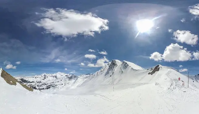
Gavotte 360 VR
Please subscribe to our YouTube channel for more videos like this.
Gavotte options at base
| Connecting lifts: | Connecting pistes: |
| Funiplagne Grande Rochette | Verdons blue (midway) |
| Colorado detachable chair | |
| Becoin detachable chair |
Gavotte piste stats
| Length: | 1.6km / 1.0m |
| Start alt: | 2402m |
| End alt: | 2133m |
| Vert drop: | 271m |
| Max gradient: | 25° |
| Graded: | Red |
Gavotte Googlemaps
Closest webcams
Piste map local area


